AMOVLAB Solution

UAV Swarm Search Solution

A high-end solution built for UAV swarm search missions, integrating UAV platforms, onboard computing, high-precision positioning, reliable communication links, intelligent visual perception, and distributed swarm search software.

The package gives researchers a flexible full-stack platform for swarm planning, swarm perception, collaborative control, target recognition, inter-aircraft collision avoidance, and swarm pursuit experiments.

A full-stack platform for UAV swarm search research and secondary development.

The UAV swarm search package is tailored for multi-UAV search scenarios. It integrates advanced UAV flight platforms, high-performance onboard computers, high-precision positioning systems, stable communication links, intelligent vision modules, and software modules for distributed swarm search planning, target recognition, inter-aircraft collision avoidance, and swarm pursuit.

With modular hardware, open architecture, and software support from perception to coordination, the package reduces the research threshold and helps users validate algorithms, build experiments, and pursue innovation in swarm intelligence.

Search, perception, avoidance, pursuit, ground-station operation, simulation, and customization support.

01

Distributed Area Search

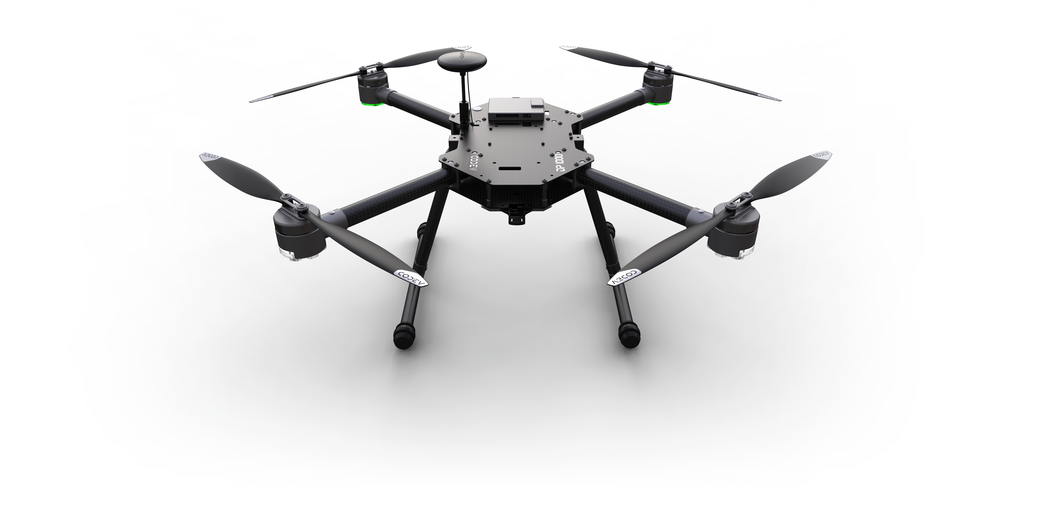
Uses a distributed anti-interference real-time search planning algorithm based on MPC control theory. Each UAV evaluates its task area, own position, other UAV positions, and searched regions in real time to plan its route, enabling distributed computation, reliability, fault tolerance, and fast response to dynamic mission changes.
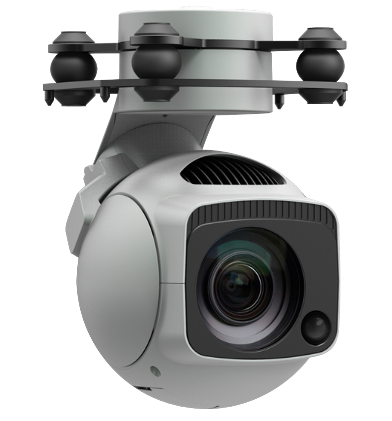
02

Target Recognition

Uses the SpireCV onboard real-time image processing SDK and YOLOv5-V7 algorithms to detect common targets such as pedestrians, vehicles, bicycles, and boats from gimbal video streams, outputting bounding boxes, target classes, confidence, field-of-view angles, and 3D position references for follow-up control.

03

Inter-Aircraft Collision Avoidance

Provides dual-layer avoidance protection at the planning and control levels. When two UAVs approach the safety distance, a vector avoidance control component is added to the MPC output so the aircraft move away from each other safely.

04

Swarm Pursuit

When any UAV in the swarm detects and locks onto a target, it sends target information to the other aircraft, which rapidly gather and form a triangular formation for coordinated pursuit.

05

Ground Station

Provides ground-station software for quick operation and swarm-state display, including UAV connection status, flight mode, position, speed, attitude, 2D/3D maps, mission tasking, and real-time display of searched regions.

06

Simulation System

Includes a UAV swarm search simulation system so users can develop, verify, and migrate algorithms smoothly to the physical UAV swarm search kit.

07

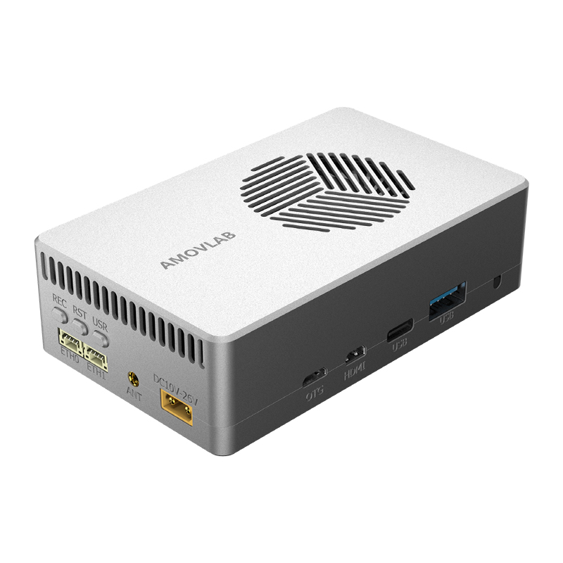
Distributed Intelligence

Each UAV carries its own computing unit. UAVs exchange data through communication links, while swarm mission control and planning run onboard. The ground station is used mainly for remote data display and mission assignment.

08

Open Code

Purchased kits include access to most of the swarm-system code, excluding ground-station software, plus secondary-development interfaces for further research and customization.

09

Customization Support

AMOVLAB can provide software and hardware customization based on the UAV swarm search package and project requirements.

Research, teaching, inspection, security monitoring, and search-and-rescue scenarios.

Swarm Algorithm Research

Supports research in multi-agent collaborative control, path planning, and related algorithms.

Teaching Demonstration

Demonstrates UAV technology and swarm collaboration principles in teaching and laboratory environments.

Area Inspection

Supports regular inspection of large facilities such as transmission lines, pipelines, and storage tanks.

Security Monitoring

Supports border patrol, key facility protection, public-event monitoring, suspicious target search, and pursuit.

Search and Rescue

Allows rapid entry into disaster areas after earthquakes, floods, landslides, fires, or chemical leaks.

Core parameters for computing, UAV frame, communication, positioning, and gimbal modules.

1. Onboard Computer

AllSpark2 onboard computer
ParameterAllSpark2-Orin-NanoAllSpark2-Orin-NX (8GB)
AI Performance40 TOPS70 TOPS
GPU1024-core NVIDIA Ampere GPU with 32 Tensor Cores1024-core NVIDIA Ampere GPU with 32 Tensor Cores
Maximum GPU Frequency625 MHz765 MHz
CPU6-core ARM Cortex-A78AE v8.2 64-bit CPU, 1.5 MB L2 + 4 MB L3
Maximum CPU Frequency1.5 GHz2 GHz
DL Accelerator/1x NVDLA v2
DLA Maximum Frequency/614 MHz
Vision Accelerator/1x PVA v2
External Storage128 GB SSD, M.2 Key M, NVMe protocol
Display Interface1 micro HDMI display interface, supports 1920 x 1080P output
CSI Interface2-channel MIPI CSI 2-lane interface
Ethernet2x 100 Mbps Ethernet ports
WiFiBuilt-in WiFi mini PCIe module with external antenna support
USB1x USB 3.2 Type-A, 1x USB 3.2 Type-C, and 1x micro USB for flashing
GPIO4 GPIO channels, CMOS 3.3 V
CAN TransceiverSupports CANH and CANL communication
UART4 UART channels, CMOS 3.3 V, including 1 debug UART
I2C1 I2C channel, CMOS 3.3 V
SPI1 SPI channel, CMOS 3.3 V
Power InputXT30M, 10-26 V at 3 A
System Power6-25 W
WeightAbout 188 g
Dimensions102.5 mm x 62.5 mm x 31 mm

2. UAV Frame

Large UAV frame
ParameterLarge UAV
TypeMultirotor UAV
Wheelbase600 mm
Maximum Takeoff Weight4.0 kg
Maximum Payload1.5 kg
Maximum Horizontal Speed12 m/s
Maximum Climb Speed5 m/s
Maximum Descent Speed3 m/s
Hover Time70 min unloaded; 30 min with 1.5 kg payload

3. Communication Link

Homer communication link
ParameterHomer
Interface3x serial, 3x Ethernet
Frequency Band5.1 GHz to 5.9 GHz
Maximum Bandwidth80 Mbps
Maximum Distance2.5 km
Maximum Nodes12
Dimensions88 mm x 78 mm x 20 mm

4. Positioning System

RTK positioning system
ParameterRTK
Positioning Accuracy2-4 cm
Application ScenarioOutdoor
Positioning Data3D position data

5. Gimbal

GX40 gimbal
ParameterGX40
Dimensions85.8 x 86 x 129.3 mm (gimbal); 45.4 x 40 x 13.5 mm (GCU controller)
Weight405 g (gimbal) + 18.6 g (GCU controller)
Operating Voltage14-53 VDC
Power Consumption8.5 W typical; 55 W with motor blocked and illumination on
Operating Temperature-20 C to 50 C
Streaming TypesRTSP, GB/T28181, ONVIF
Encoding FormatH.264, H.264H, H.264B, H.265, MJPEG
Resolution4K at 30 fps; 1080P at 30 fps; SXGA 1280 x 1024 at 30 fps; 1.3M 1280 x 960 at 30 fps; 720P at 30 fps
Bitrate0.25-10 Mbps at H.265; 0.5-16 Mbps at H.264
Lens TypeOptical zoom lens
Focal Length4.8-48 mm
Aperturef/1.7-f/3.2
Diagonal FOV67.2-7.6 degrees
Vertical FOV36.1-3.7 degrees
Horizontal FOV60.2-6.6 degrees
Optical Zoom10x
Image SensorCMOS, 1/2.8 inch, 8.29 MP effective pixels
Pixel Size1.45 x 1.45 um
Electronic Shutter1-1/30000 s
Minimum Illumination0.01 lux at f/1.5 with night vision off; 0.001 lux at f/1.5 with night vision on
StabilizationNon-orthogonal mechanical three-axis stabilization
Controllable AnglePitch +157 to -70 degrees; roll +/-30 degrees; yaw +/-360 degrees continuous
Maximum Control Speed200 degrees/s
Angle Jitter+/-0.01 degrees

Swarm search demonstration with real mission progress display.

Contact Us

Planning a UAV swarm search project?

Swarm search projects are shaped by area size, target type, coverage rules, and onboard perception.

Useful details to include

  1. 01 Search area, target type, and expected coverage speed
  2. 02 Swarm scale, flight altitude, and positioning method
  3. 03 Onboard computing, camera, communication, and autonomy needs